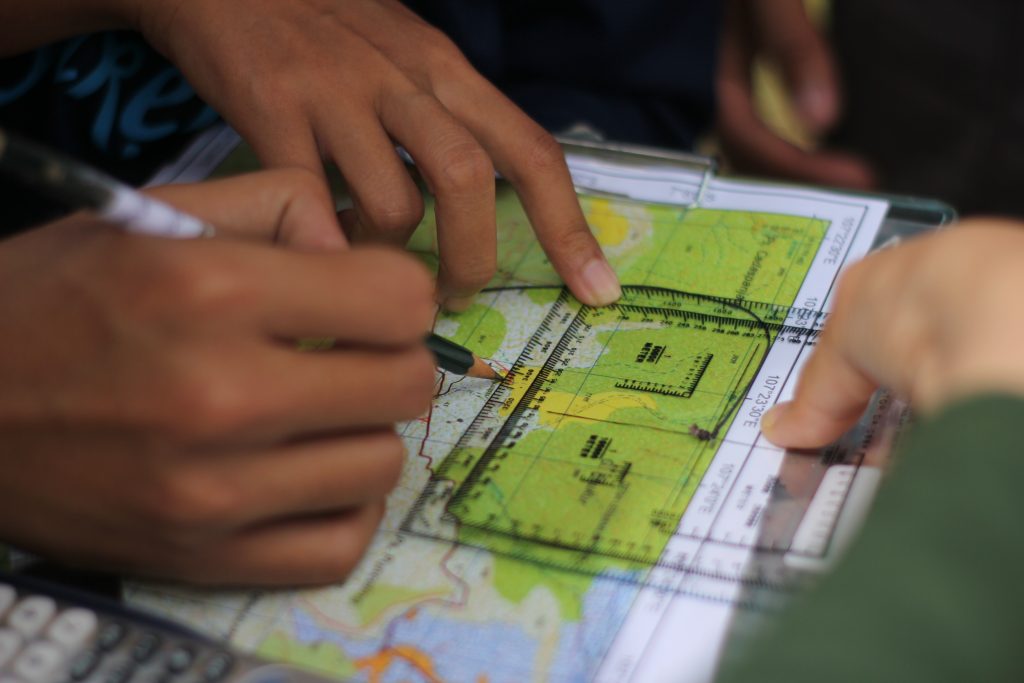
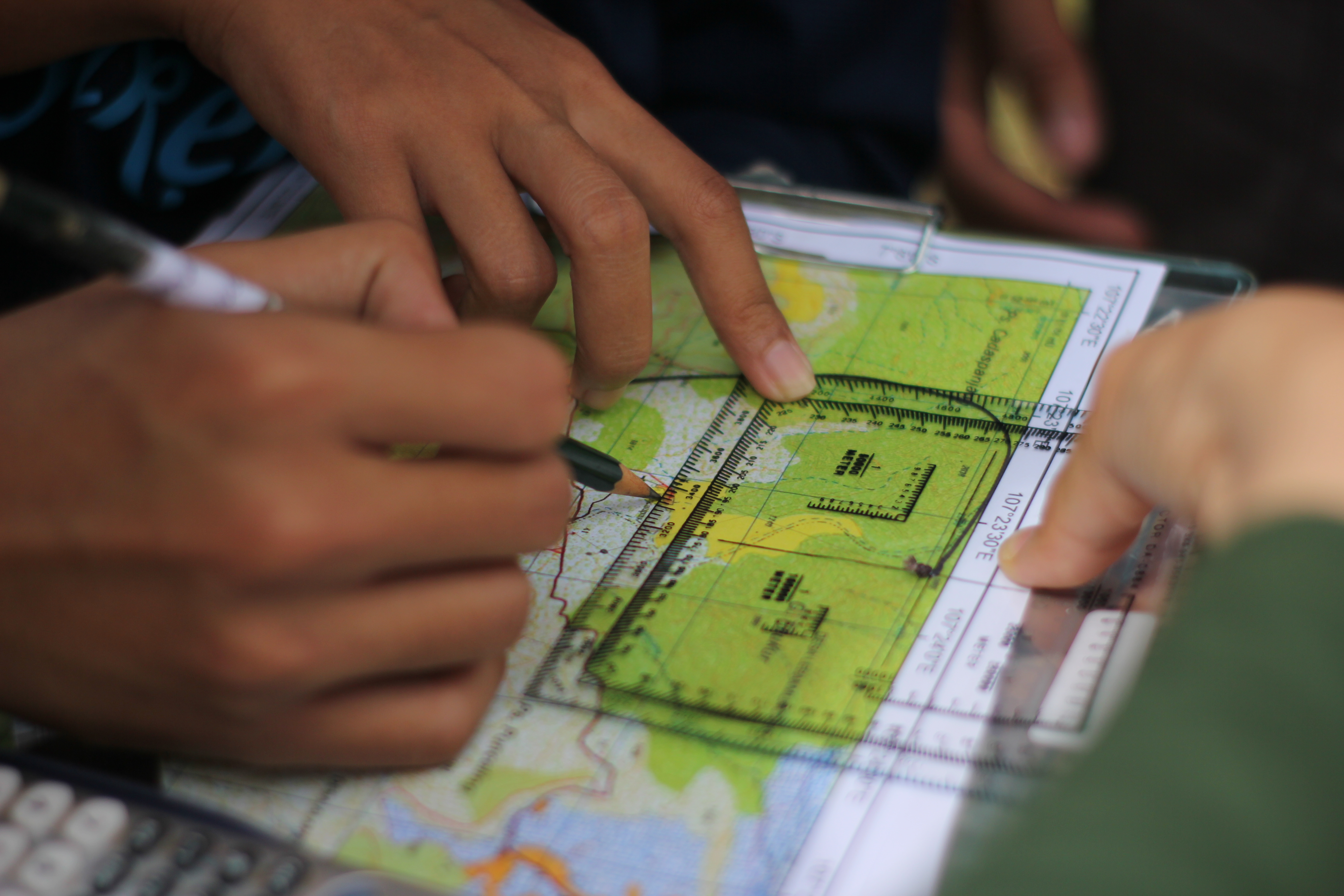
Geospatial Expedition in an annual subject which held for the new students of Geodesy and Geomatics ITB. Geospatial Expedition aims to prepere the new students to survive in the field by both physical training and survival training. Geospatial expedition is divided into two parts, basic theory in campus and field expedition in the middle of forrest. Field expedition is held for 2-3 days.
Geospatial Expedition adapt Orienteering for learning process in field expedition. Orienteering is a group of sports that requires navigational skills using a map and compass to navigate from point to point in diverse and usually unfamiliar terrain whilst moving at speed. Participants are given a topographical map, usually a specially prepared orienteering map, which they use to find control points. Originally a training exercise in land navigation for military officers, orienteering has developed many variations. Among these, the oldest and the most popular is foot orienteering.

Figure 1. Survival

Figure 2. Orienteering

