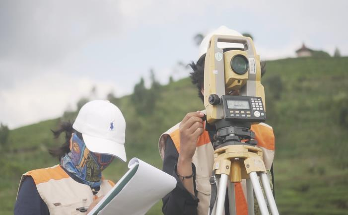
Field camp course is a compulsory subject for the 6th semester studens which aims to implement the basic knowledge from the previous subjects, such as Surveying I and II, Geodetic Computation, Geometric Geodey, Spatial Data Computation, etc to understand the whole engineering process of terrestial mapping and produce map. About 100 students of Geodesy and Geomatics ITB conducted the field camp on Pengalengan, West Java, for 2 weeks. They were mapping an area for about 200 hectare with various terrain.
In order to produce topographic map, several steps are conducted:
- Survey planning
- Horizontal control network survey
- Vertical control network survey
- Detail mapping
- Cartography
Following is the video for Field Camp 2018
![]()
![]()