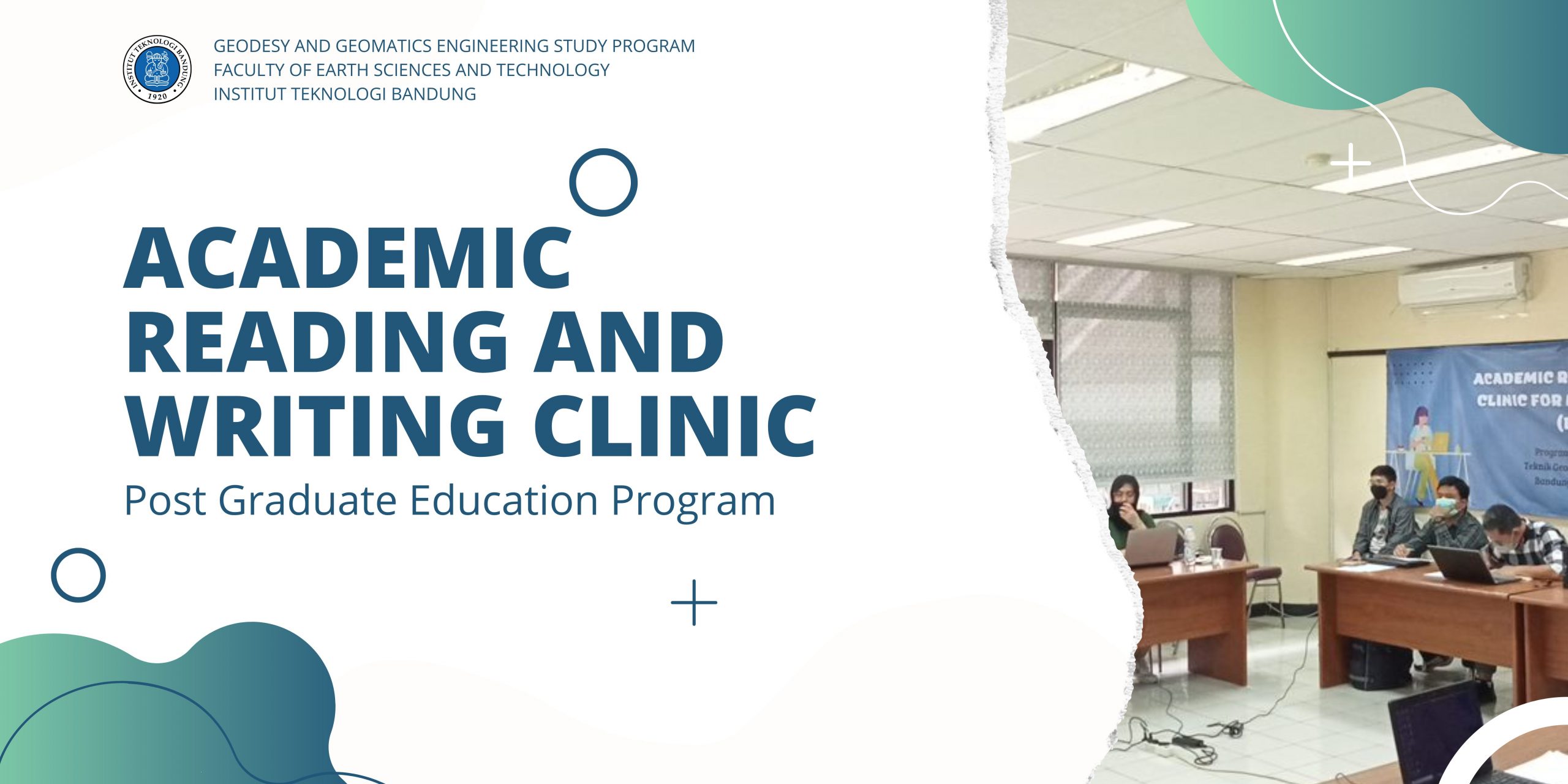
Program studi pascasarjana Teknik Geodesi dan Geomatika, Fakultas dan Ilmu Teknologi Kebumian, Institut Teknologi Bandung selalu berkomitmen untuk memberikan program pendidikan terbaik untuk meningkatkan kapasitas dari mahasiwa, khususnya mahasiswa pascasarjaba Teknik Geodesi dan Geomatika. Salah satu kegiatan yang dilakukan untuk mendukung hal tersebut adalah melalui kegiatan klinik membaca dan menulis akademik atau academic reading and…
Read MoreTo implement the provisions of Article 26 of the Minister of Manpower and Transmigration Regulation Number 8 of 2012 about Procedures for Determination of Indonesian Competency Standards, the Badan Informasi Geospasial determines the Indonesian National Work Competency Standards in the Field of Geospatial Information (SKKNI -IG). SKKNI-IG is then used as a reference in the…
Read MoreOn July 9, 2018-11, July 2018, the first batch of Hydrographic Engineering Professionals Program Category A Bandung Institute of Technology (ITB) conducted a survey in several areas in Jakarta Bay. This survey activity aims to train the ability of prospective surveyor students using Multi Beam Echo Sounder (MBES) method to measure the depth of the…
Read MoreField camp course is a compulsory subject for the 6th semester studens which aims to implement the basic knowledge from the previous subjects, such as Surveying I and II, Geodetic Computation, Geometric Geodey, Spatial Data Computation, etc to understand the whole engineering process of terrestial mapping and produce map. About 100 students of Geodesy and…
Read MoreJuly 15 2009, Campus Center, ITB Host : Remote Sensing and GIS Research Division, Faculty of Earth Sciences and Technology, ITB In cooperation with : • Center for Remote Sensing (CRS), ITB • Indonesian Society for Remote Sensing (MAPIN) • Center for Environmental Remote Sensing (CEReS), Chiba University, Japan • Department of Geography, Graduate School…
Read More


